


11,7 km | 19,4 km-effort


Usuario


Aplicación GPS de excursión GRATIS
 SityTrail
IGN / Institutos geográficos
SityTrail World
El mundo es suyo
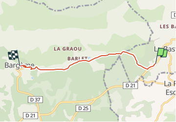
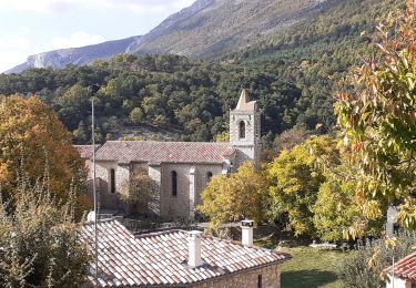
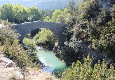
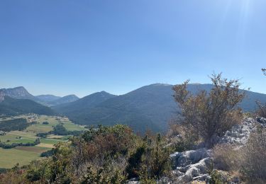
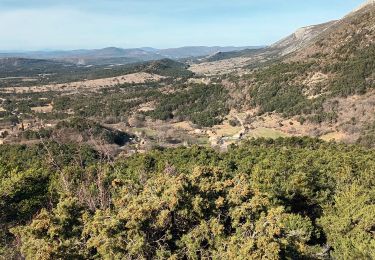
Ruta Senderismo de 4,6 km a descubrir en Provenza-Alpes-Costa Azul, Var, La Bastide. Esta ruta ha sido propuesta por santaflor.
l'itinéraire tient compte seulement de l'aller simple et de la visite de ce magnifique village médiéval.
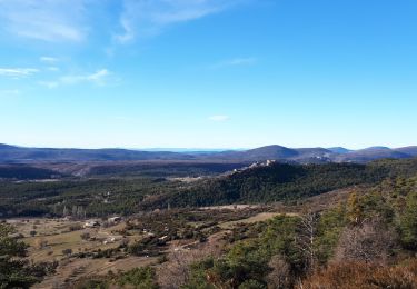
Senderismo
Senderismo
Senderismo
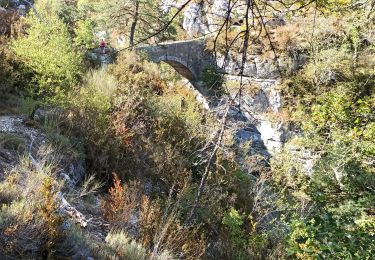
Senderismo
Senderismo
Senderismo
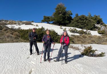
Senderismo

sport
Senderismo